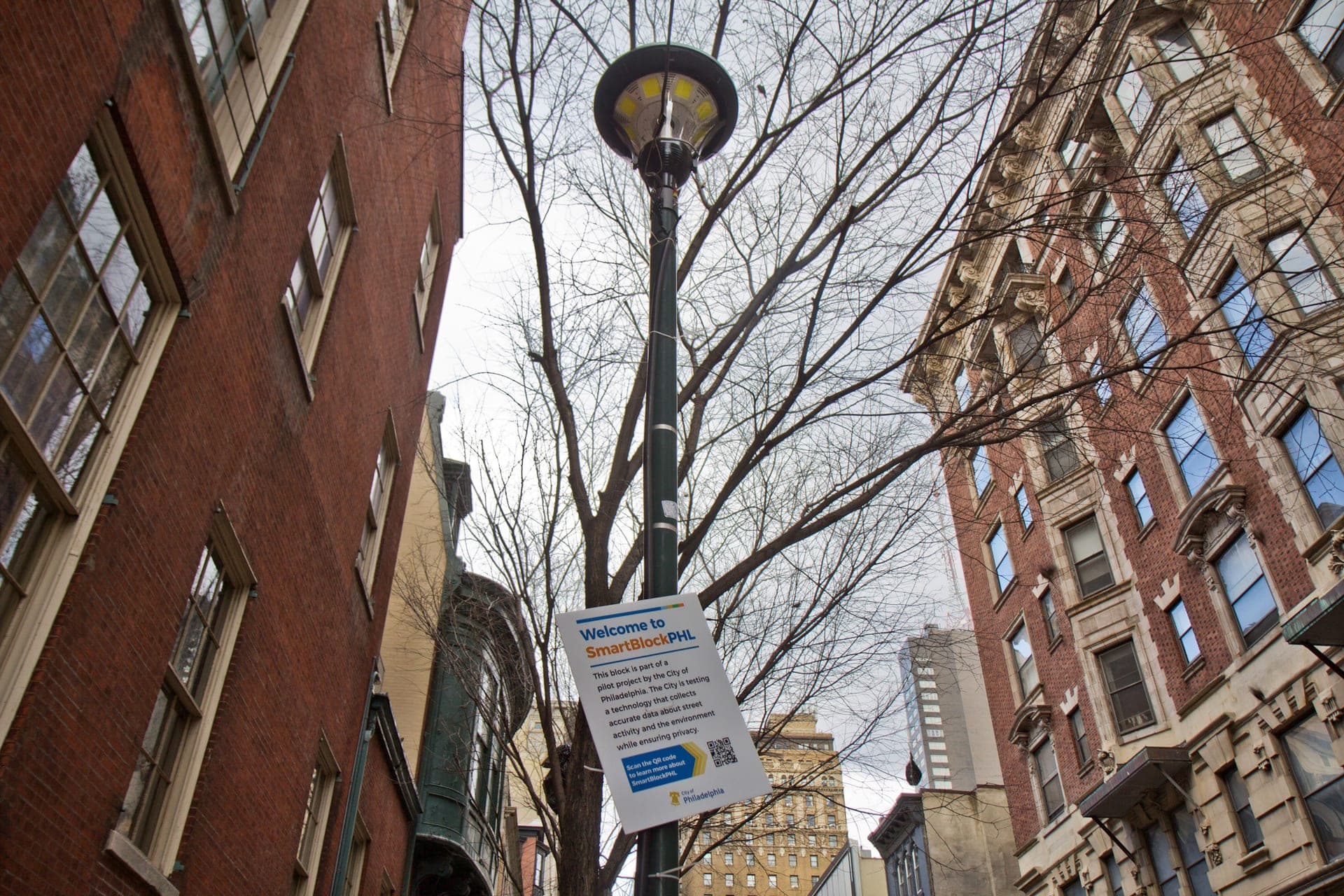
SmartBlockPHL was a City of Philadelphia pilot to learn how public streets are used and whether sensor data could help guide decisions about shared public space. The project took shape as the city sought to understand changing uses of streets and sidewalks, including outdoor dining, alongside walking, cycling and driving.13
The pilot covered the 100 block of South 13th Street, between Chestnut and Walnut streets, in Midtown Village. The city selected the corridor for its mix of dining and retail, increased foot traffic and existing public infrastructure.1 Fourteen streetlights were fitted with sensors to count people and objects and monitor air quality and weather conditions.12 The sensors processed raw imagery at the device, transmitting anonymised metadata rather than identifiable images; the city said the data would not be used for law enforcement or ticketing.26
The City’s Office of Innovation and Technology and Office of Transportation, Infrastructure, and Sustainability worked with Comcast, streetlight technology provider Juganu, and US Ignite, which helped bring the partners together and advised on privacy and data management.124 Emily Yates, then Philadelphia’s Smart City Director, discussed the pilot’s privacy approach, while city staff described its purpose as testing sensor-based data against existing collection methods.34
Sensors were installed and calibrated in July 2021, and real-time collection began in December 2021; the city’s stated schedule put the pilot’s conclusion in late 2022.16 Available reporting describes the city validating and cleaning the data, but the sources provided do not establish a final evaluation or documented operational changes resulting from the pilot.411