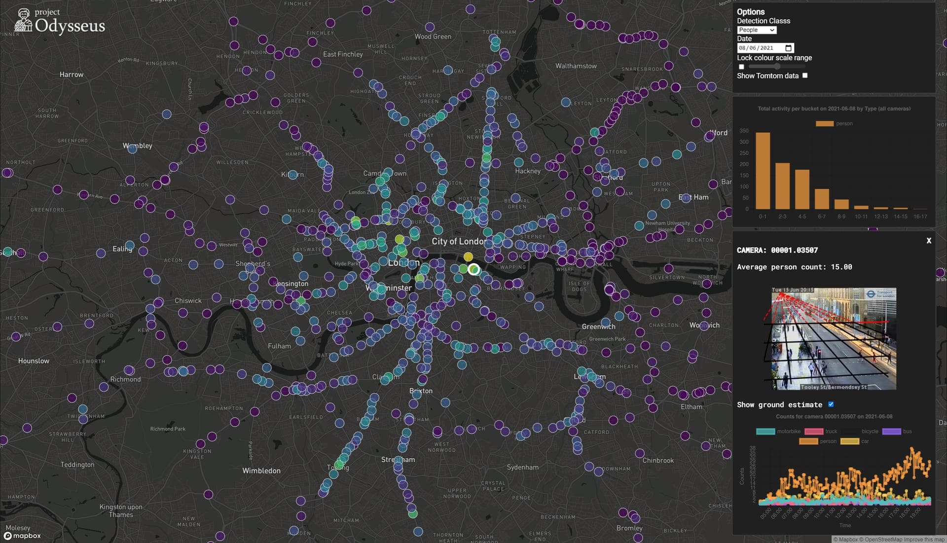
When London entered lockdown in 2020, researchers at The Alan Turing Institute adapted data systems originally developed for urban air-quality research to track changes in the city’s activity. Project Odysseus set out to build a more consistent picture of London’s “busyness” and help authorities assess how people responded to pandemic restrictions. 138
The project combined data with different geographic and time coverage, including traffic-camera feeds, intersection monitors, public-transport activity, point-of-sale counts and aggregated GPS data. Researchers used machine learning, statistical time-series analysis and image processing to compare activity with seasonal pre-lockdown baselines and identify changes across the city. 18 Camera analysis produced anonymised estimates of pedestrian and vehicle density, as well as measures related to social distancing; the footage was processed to estimate patterns rather than identify individuals. 47
The work was led at the Turing by Dr Theo Damoulas, with researchers from the University of Warwick, UCL and the University of Cambridge. The Turing’s Data-Centric Engineering programme, supported by Lloyd’s Register Foundation, worked with public-sector partners including the Greater London Authority (GLA) and Transport for London (TfL). 135
The project was intended to support policy decisions, not simply describe movement: its proposed early-warning approach could flag changes in activity for review by London authorities. 111 During the pandemic, TfL used the camera-based estimates to inform measures such as moving bus stops, widening pavements and closing parking bays to help people keep their distance. 7 Later analysis also reported increased pedestrian activity and reduced distancing during the August 2020 “Eat Out to Help Out” period, followed by lower activity during the second lockdown. 12