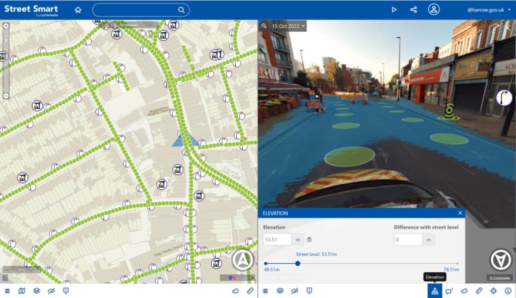
Harrow’s digital twin grew out of several practical needs: staff wanted to see council assets in their surroundings, access more current street imagery, and carry out more work remotely. The borough considered using cameras on its bin lorries, but judged that approach too costly and unlikely to produce images of sufficient quality. It instead worked with Cyclomedia, whose street-level cameras and LiDAR scanners capture 360-degree imagery and a 3D mesh of the area. Together, these let staff view and measure features of the borough from their desks, with centimetre-level accuracy.1
The digital twin combines those captures with council geographic information system (GIS) data, including lamp-post locations, houses in multiple occupation, adopted highway status and planning applications. At the time of LOTI’s account, it contained three captures made over two years, allowing staff to compare the borough at different points in time.1
The council reported 2,000–3,000 views a month, despite the system being available to only a limited group of staff. Virtual inspections have helped reduce unnecessary site visits, and using the imagery for the annual review of traffic restriction order signs saved £15,000—a saving the council expected to recur each year. The article also describes using the system to check for unregistered developments and to support flood simulation, though it does not quantify results for those uses.1
The project is a council-led effort involving the London Borough of Harrow and Cyclomedia; the article does not name an individual project lead. LOTI published its account on 26 July 2023.1