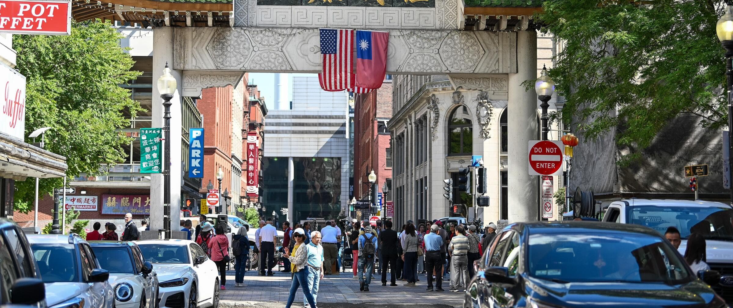
Boston’s curb space has to serve many competing needs, from parking and deliveries to accessible drop-offs. The Boston Curb Lab is a City of Boston initiative led by the Office of Emerging Technology to create a digital inventory of curb regulations and help staff manage that space more proactively. Its work is funded by a U.S. Department of Transportation SMART Grant awarded in 2024.1
The project’s central task is to turn scattered rules and street information into structured curb data. It uses AI to interpret street-sign imagery and organizes the resulting information using the Curb Data Specification, an open standard developed by the Open Mobility Foundation. The aim is a shared, usable record that can support city decisions and, in time, give residents and businesses clearer information about parking rules, loading zones and time restrictions.1210
The work has proceeded in stages. Boston partnered with the University of Oregon’s UrbanismNext research team to assess curb-data needs, then developed and tested prototypes with residents and City Hall staff. Cambridge Systematics helped build foundational components of the data system; CodeMetal partnered on a low-cost, privacy-preserving traffic sensor system.1 UrbanismNext’s research included interviews with 17 city staff, industry and end-user representatives, and staff from other U.S. cities.3
As of the project page’s latest reported phase, Boston was moving into pilots and integrations, including a public curb-regulation map, resident loading-zone pilots and an integrated platform for City Hall staff.1 The City says it intends to open-source the code and make data available through a public API, so other cities can adapt the approach.1 The project page identifies the Office of Emerging Technology as the lead; it also names the Parking Clerk, Streets Cabinet, New Mobility team and Analytics Team as collaborators.1