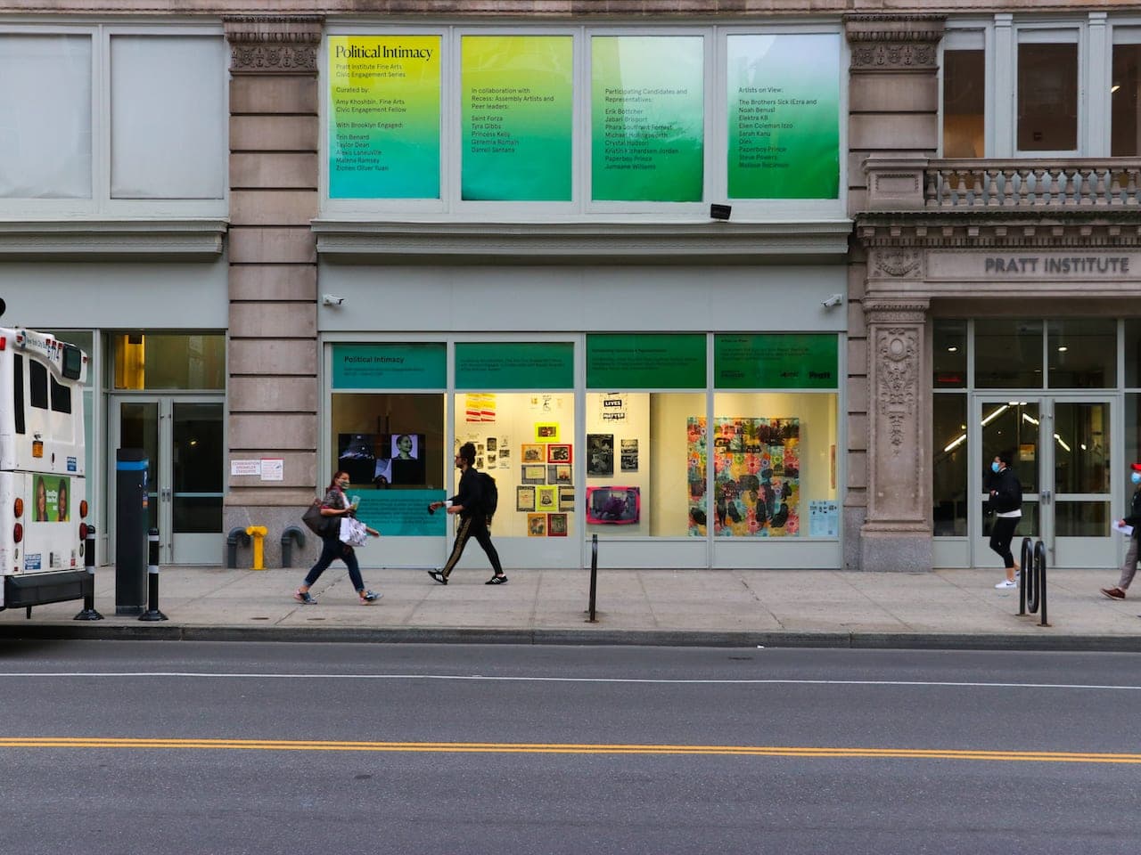
Pratt Institute’s Spatial Analysis and Visualization Initiative (SAVI) is an interdisciplinary research, consulting and education center based at Pratt Institute in Brooklyn, New York. Founded in 2013 by Jessie Braden and Juan Camilo Osorio, with mentorship from John Shapiro, it works with spatial data and visual storytelling. Its work includes analyzing data, designing maps and other visual outputs, and helping partners make complex information understandable. 39
SAVI serves Pratt students and faculty as well as external partners, including community organizations, government agencies, nonprofits and private-sector groups. Its activities include research and consulting projects, GIS support, technical assistance, training and workshops. The initiative also contributes to professional education through certificate programs; the School of Information’s 12-credit Spatial Analysis and Design Advanced Certificate is offered in collaboration with SAVI. 79
Its projects have addressed issues ranging from environmental conditions to public services and urban change. For the Museum of the City of New York’s New York at Its Core exhibition, SAVI worked with curators on spatial analysis and produced nearly 100 maps for the Future City Lab, organized around themes including housing, work, mobility and the environment. 8 In North Brooklyn, SAVI collaborated on the Environmental Legacy and Improvements project, which includes a toxicity map intended to make historical environmental information accessible to the public. 11 These examples reflect the initiative’s focus on using mapping and analysis to help people interpret place-based issues. 911