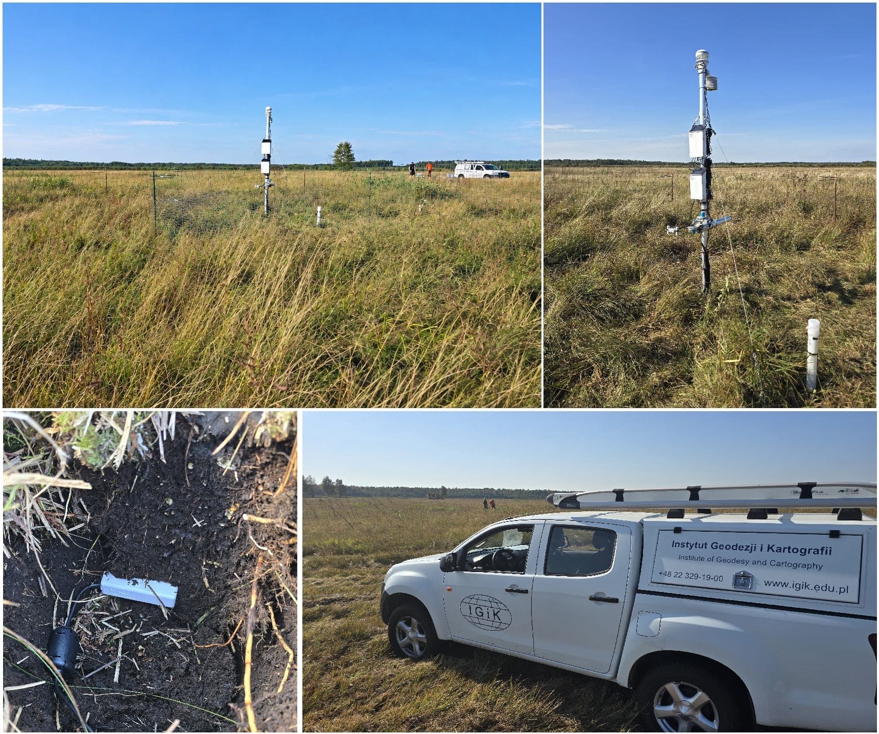
Founded in Warsaw on 30 March 1945 as the Geodetic Research Institute, the Institute of Geodesy and Cartography (IGiK) is a Polish research institute under the Ministry of Development and Technology. Its headquarters are at 27 Zygmunta Modzelewskiego Street in Warsaw. The institute’s director is Dr. hab. inż. Michał Szota. 311
IGiK conducts scientific and applied research in geodesy, cartography and related fields, including remote sensing. Its work serves research and professional practice, public administration and geodetic and cartographic organisations. The institute also supplies satellite and geospatial data; it began distributing satellite imagery in 1975 and was the first such distributor in Poland. 41112
A significant part of its work applies Earth-observation data to practical monitoring. Projects include SATMIROL, which developed satellite-based crop identification and monitoring for agricultural statistics with the Space Research Centre of the Polish Academy of Sciences and Poland’s Central Statistical Office. 2 In forestry, the RemBioFor project investigated methods for estimating above-ground biomass and carbon storage using satellite, airborne and ground-based data. 5 Other work includes satellite-based monitoring of crop conditions and agricultural drought, and tools intended to support local authorities overseeing non-state forests in Poland. 27
The institute’s activities are primarily national, while its research and data work also connect to European and international programmes. 710