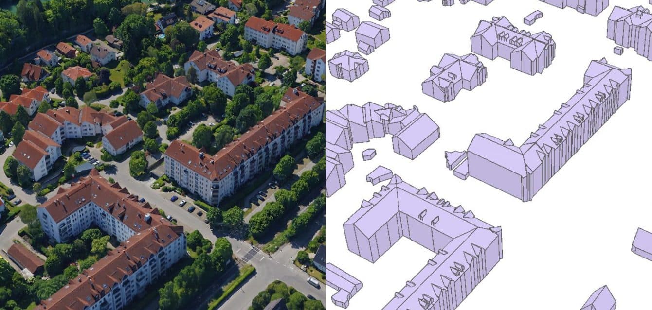
3D RealityMaps GmbH develops and manages geospatial digital twins for urban planning and smart city applications. Founded in 2009, the company provides services from data acquisition using aircraft and satellites (resolutions of 1 cm to 10 m) to AI-driven geodata analysis and 3D web visualization.1345 Its cloud-based SaaS platform, RealityTwin, integrates 3D city and landscape models with geodatabases and IoT devices to simulate development scenarios and support data-based decisions.34
The firm's mission centers on precise digitization and intelligent analysis to aid cities and regions in future-oriented planning.345 Key activities include digital photogrammetry, 3D city modeling, geodata analysis, and applications for tourism marketing, outdoor navigation via the RealityMaps app, and visualizations like Neuschwanstein Castle.12 It operates with 1-10 employees, led by Prof. Dr. Florian Siegert.14
Geographically focused on Europe, with projects in German regions and UNESCO sites, the company serves urban planning, environmental monitoring, climate adaptation, mobility, energy efficiency, and land management.45 In housing, its digital twins enable simulations for urban development, land management, and efficient planning of residential areas through realistic 3D models and scenario testing, though specific housing projects are not detailed in available data.34
Headquartered in Munich, Germany, 3D RealityMaps GmbH contributes to smart city infrastructure by making complex structures visible and actionable.124
Word count: 248