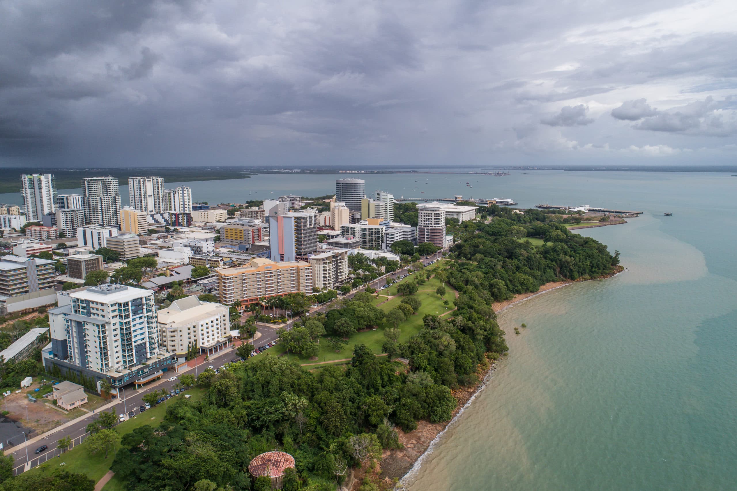
The Darwin Living Lab Digital Twin is a CSIRO-led effort to build a virtual model of Darwin that can help city managers track change and assess the effects of planning and asset-management decisions. Its initial focus is the value of urban trees and other greening measures in reducing heat. The wider Darwin Living Lab was established in July 2019 as a 10-year Darwin City Deal collaboration involving CSIRO, the Australian Government, the Northern Territory Government and the City of Darwin. 23
The project brings together spatial and time-series data to describe the city’s built and natural features. Using existing imagery, the team produced 10-centimetre-resolution maps of vegetation, impervious surfaces, bare ground and water for 2011, 2016 and 2021. These maps were combined with local tree-inventory information to assess vegetation’s ecosystem services using the international System of Environmental-Economic Accounting framework. The team has also mapped land-surface temperatures and modelled heat patterns in relation to urban features. 2
The resulting analysis supports comparisons of canopy cover, vegetation condition and heat across the city, and is intended to help evaluate the economic value and return on investment of cooling and greening initiatives. The digital twin can examine vegetation’s relationship to land-surface temperature at finer resolution than was previously possible, while further work is planned with the City of Darwin, the Northern Territory Government and research partners to expand data access and analytical capability. 2
The 2021–22 project snapshot names CSIRO researchers Dr Sorada Tapsuwan, Dr Ray Marcos Martinez, Dr Natthanij Soonsawad and Guy Barnett, alongside the CSIRO Data61 Urban Monitor team and City of Darwin and Northern Territory government contributors. 3