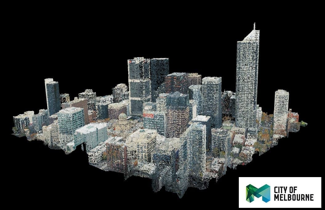
The City of Melbourne Open Data Platform is the council’s public portal for accessing and using data about the municipality. Its stated aims are to increase transparency, improve public services, and support economic and social initiatives through wider use of council data.2
The platform brings together more than 200 datasets, with its catalogue refreshed daily through an integration with the Victorian Government’s DataVic service.2 The material ranges from historical records to near-real-time information, including the Census of Land Use and Employment (CLUE), population and jobs forecasts, and sensor data on pedestrian activity, parking and microclimate.2 The portal also offers interactive data stories and tools for creating visualisations, while an API provides structured access to the platform’s data.211
The collection supports practical analysis of city conditions and change. For example, CLUE data records land use and employment, while population forecasts are available by municipality and smaller areas, including breakdowns by gender and age group.28 The portal also publishes liveability and social indicators drawn in part from the City of Melbourne Social Indicator Survey, which tracks residents’ health, wellbeing, participation and connection. The council uses these indicators to monitor progress and inform policy, planning and management; it also submits indicators annually to the World Council on City Data for verification against the ISO 37120 standard.12
The project is operated by the City of Melbourne, in Melbourne, Australia. The available sources describe the platform and its catalogue but do not identify a founding date or individual project leads.213